
Part 3 - Larch Hill to Headquarters Pass
Part 1 - Benchmark to Prairie Reef
Part 2 - The Chinese Wall
Part 4 - The South End of the Chinese Wall near Red Butte
Part 5 - The North End of the Chinese Wall near Larch Hill Pass
Part 6 - The Chinese Wall near Cliff Mountain
Copyright Notice
Take some time to view my photo galleries.
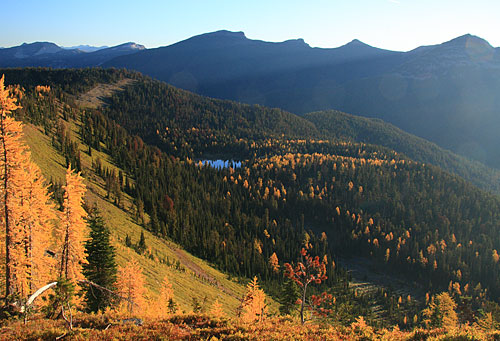
The morning was again clear and cold so I quickly dressed and headed back to the summit of Larch Hill. The same lighting problem of the previous day occurred but I still managed to get some good pics. The best ones seem to be of a little pond called My Lake which was tucked beneath Larch Hill down in the forest. The early morning sun lit up the golden larches around the lake and made for some good pics.


By the time I left camp though it was almost 10:30. A pretty late start considering that I had somewhere around 13-14 miles to cover that day.

By early evening I was at Gates Park, a huge area of grasslands and marshes in the valley of the North Fork of the Sun River.
After setting up camp I enjoyed dinner to the accompaniment of bugling elk. Twilight crept over the valley, darkness descended and the elk kept bugling.

My last morning was the coldest. Water bottles were full of ice and the tent was covered in heavy frost. I arose in the dark and had breakfast as the sun began to warm the peaks. By the time I left camp it was already gettng too warm for my jacket.
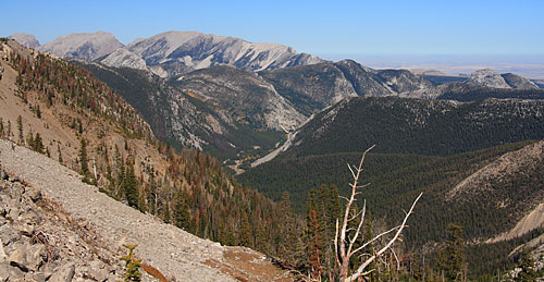
The trail up Headquarters Creek was in great shape but there was no shade. The sun was rising as was the temperature . Before long it was well up in the 80s under a crystal blue sky.
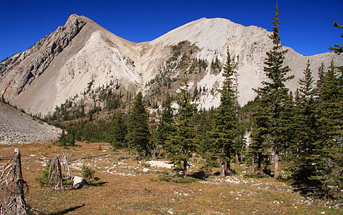
Soon I was in the high alpine basin below the pass. I got my first look at Rocky Mountain, the highest peak on the Rocky Mountain Front.


It was a very enjoyable 6 days through mostly new (to me) country. I'm already planning for a return trip next year.