A Late Fall Trip to the Middle of the Chinese Wall!
in the Bob Marshall Wilderness of Montana October 7-11, 2010 Copyright Notice I wanted one more trip into the Bob Marshall Wilderness to photograph the Chinese Wall. I've been to the famous Chinese Wall a couple of times already but I wanted some specific photographs of the middle part of the wall with good light. I hoped this trip would correct that but some cloudy and wet weather got in the way of my plans. More Chinese Wall Stories click HERE |
||||||||||||
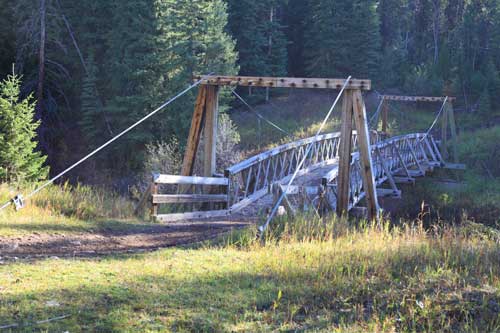
I began this trip to the Wall at the Benchmark trailhead west of Augusta, Montana. A short walk brought me to the big pack bridge over the South Fork of the Sun River. Once across the bridge I followed the South Fork Sun Trail #202 to the West Fork of the Sun River.
|
||||||||||
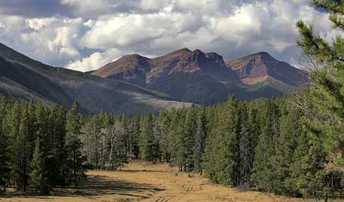
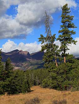
Hiking up the West Fork of the Sun River I came to this view of West Butte. Regular visitors will remember my earlier trips up this valley. One in 2008, another last July when I photographed the Chinese Wall from the top of Red Butte, and finally a trip to the north end of the Wall a few weeks ago.
Don't remember those trips? Here's links to them: |
||||||||||
I camped along the West Fork of the Sun River that night. The following morning I packed up and continued my journey. The day was drizzly and there were plenty of tracks in the mud on the trail. Seems like lots of grizzly bears were moving about. While their tracks were pretty common on the trails, I didn't see any bears. | ||||||||||
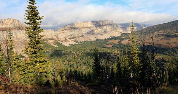
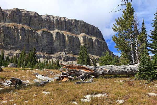
The following morning clouds hung low over the Chinese Wall. Occasionally the sun broke through to provide some photo opportunities. This view is looking south from the saddle near Cliff Mountain at the very center of the 12 mile long escarpment. | ||||||||||
The clouds lifted slowly. It seemed like the sky wanted to clear but more clouds marred the photo possibilities. | ||||||||||
Looking north from the saddle below Cliff Mountain the Wall extended another six miles to Larch Hill Pass the destination of my previous trip. | ||||||||||
One of my favorite spots along the Chinese Wall is this pond that forms the headwaters of Moose Creek. At some distant time huge blocks have broken off the Wall and tumbled down to the edge of the pond.. | ||||||||||
Another view of the pond with the Wall towering high above. | ||||||||||
With only minimal opportunities for sweeping landscape views with clear air and bright sunshine I changed the focus of the day to one of exploration.
I hiked north from the pond toward the Moose Creek Trail. |
||||||||||
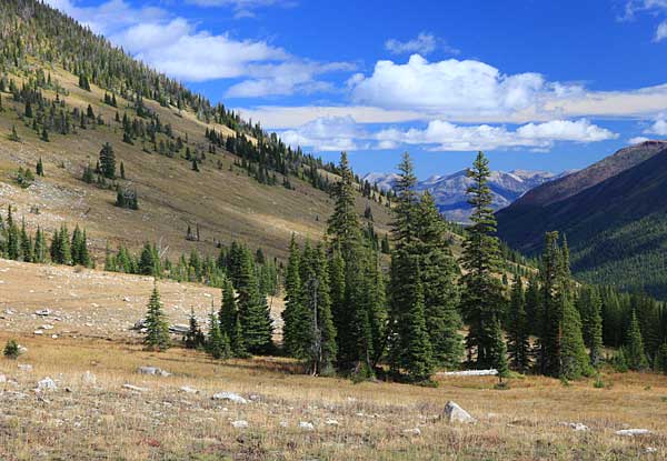
The open meadows and rocky slopes at the head of Moose Creek look to provide some great views. I'm already planning a return next July to photograph this area. | ||||||||||
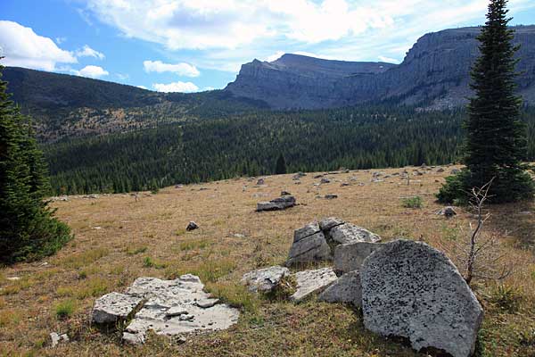
This intriguing view captured my attention. I think I could make some fantastic photographs in this area if I could be there when the sky was clearer and the sun lit up the Wall. | ||||||||||
Continuing my exploration I made it almost to Salt Mountain, the next saddle north of Cliff Mountain.
The day was getting along now so I turned back south so as to reach my camp before dark. |
||||||||||
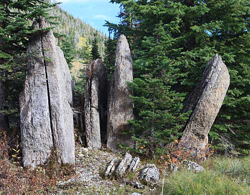
This must have been one big chunk of the Wall when it came down. Now it has weathered into several slabs.
Returning to camp I found more clouds coming in. By the time it was dark the entire sky was covered. The following morning the entire Wall was shrouded in fog and a light drizzle was falling. I put all my camera gear into "protection" mode (zip lock bags) and began my two day hike back out. The day continued to be overcast with occasional drizzle as I hiked down to the West Fork of the Sun River. I had to reach the trailhead the followng day. |
||||||||||
The sky cleared a little on my last day. I saw some new snow on the higher peaks but lower in the valley the sun warmed the air.
The last golden aspen leaves clung tenaciously to their branches but gusts of wind were pulling them off. I'm thinking it won't be long before fall turns to winter. |
||||||||||