

 |
||||||||||
 |
||||||||||
|
White River Pass, Red Butte and the South End of the Chinese Wall
July 12 - 15, 2010 Copyright Notice Ever since I hiked six days in the Bob Marshall Wilderness in the fall of 2008 and saw the Chinese Wall for the first time I've been intrigued with exploring more of that country. This past week I added to my knowledge base by seeking out views of the south end of the famous Wall. This trip, like my 2008 adventure began at the Benchmark trailhead. After hiking up the West Fork of the Sun River for about 12 miles I departed from the earlier route, waded the river and headed toward White River Pass. The pass marks the south end of the Wall but provides no view of what's to the north. So I left the trail before reaching the pass and headed into a low saddle between Haystack Mountain and Red Butte. To see the story of my first visit to the Chinese Wall click HERE. |
|||||||||||
 |
 |
||||||||||
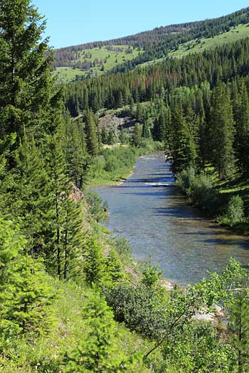
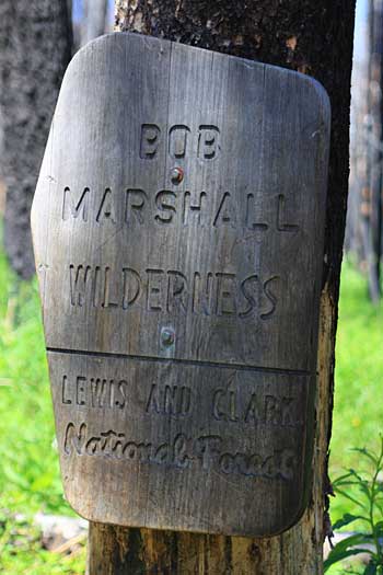
| Above: Benchmark is on the South Fork of the Sun River and the trail follows that stream for 4 miles and enters the Bob Marshall Wilderness.
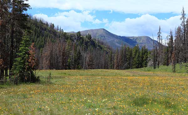
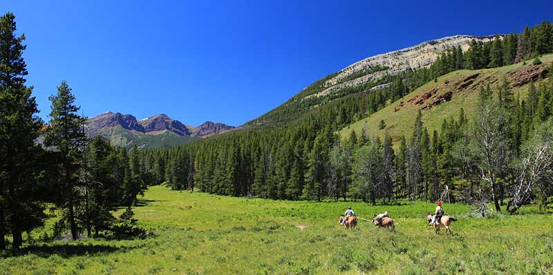
Another mile or two brings the hiker to a bridge over the West Fork of the Sun River. I crossed the bridge and turned left. Left: The trail passes through large open meadows which were filled with flowers. Below: This couple with their pack horse ride across an open meadow and provide a glimpse into the ultimate wilderness experience, packing in the Bob. |
|||||||||||
 |
|||||||||||
 |
|||||||||||
 |
|||||||||||
 |
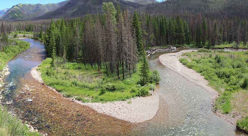
Above: A panoramic view of the West Fork of the Sun River. The large river and its entire valley lie within the wilderness.
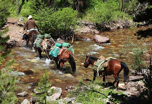
I hiked about 10 miles and camped for the night. A 2 miles hike the following morning brought me to a wade of the West fork of the Sun. The horses (left) made easy work of the crossing but the knee deep water and large rocks were a little tougher for me. |
||||||||||
 |
|||||||||||
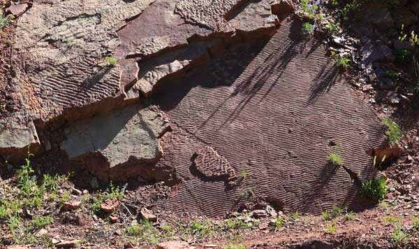 |
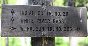
As the Indian Creek Trail climbs toward White River Pass it passes a huge slab of rock covered with ripplemarks. | ||||||||||
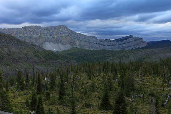 |
The trail to White River Pass doesn't provide the views of the Chinese Wall that I was interested in seeing. So I left the trail before it makes the final push to the pass and walked up to a lower saddle to the north.
The day was quite blustery, cool and low clouds filled the sky. Crossing the saddle I continued hiking north and found a protected camp in a little valley. |
||||||||||
 |
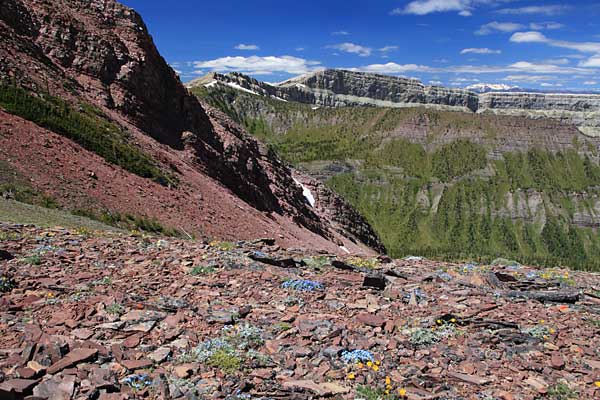
The next morning weather conditions were improving so I decided to visit the two main summits of Red Butte. After an easy walk and a gain of about 1,400 feet I began to see the country.
Looking more or less west is the trail over White River Pass. The sow capped peaks of the Swan Range, still in the Bob Marshall Wilderness, lies far to the west. |
||||||||||
 |
 |
||||||||||
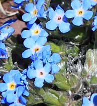
| The gentle slopes of the north summit of Red Butte were covered with alpine forget-me-not.
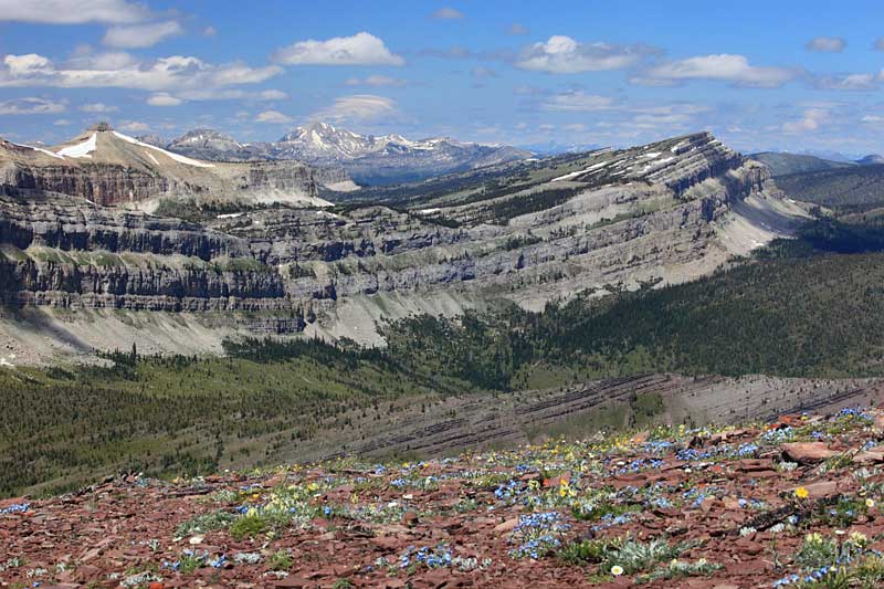
Left: A look at Haystack Mountain and the south end of the Chinese Wall. |
|||||||||||
 |
The two summits of Red Butte frame Hermit Lake lying in a beautiful small cirque. | ||||||||||
 |
|||||||||||
 |
I spent quite a bit of time enjoying the views.
Above: Sphinx Mountain and Cliff Mountain, with the Chinese Wall below them, frame distant Silvertip Mountain. Left: Peaks of the Swan Range form the horizon behind Haystack Mountain. |
||||||||||
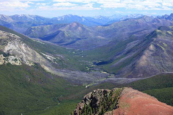 |
Looking far down the valley of the West Fork of the Sun River I could see the flower filled meadows I had photographed two days earlier. | ||||||||||
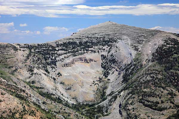 |
Prairie Reef, with its summit fire lookout, rises over 3,000 feet above the valley of the West Fork of the Sun.
I visited the summit of Prairie Reef in 2008. To see some of the views from there go back to the ChoteauCam page and click on the Chinese Wall trip. |
||||||||||
 |
As the day was getting along I followed some elk trails back toward my camp and passed this nifty little pond on the slopes of Red Butte.
Below: As I relaxed on the north summit of Red Butte I could tell the air was getting clearer. I began to see peaks far to the north that I could recognize as being in Glacier National Park. A sharp dark peak between Silvertip and Cliff Mountain is definitely mount Saint Nicholas. |
||||||||||
|
More Chinese Wall Stories click
|
|||||||||||
 |
|||||||||||