An Eight Day Trek to Traverse the Top of the Chinese Wall
in the Bob Marshall Wilderness of Montana

July 10 - 17, 2013
Copyright Notice

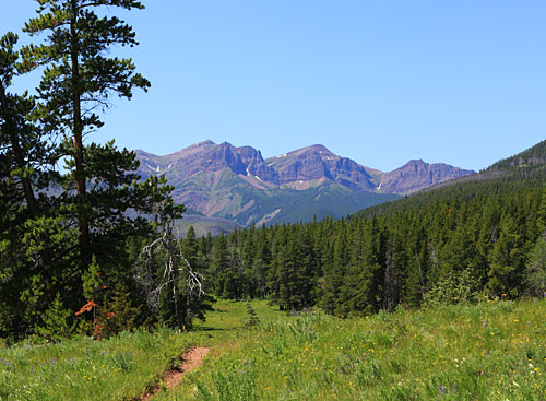
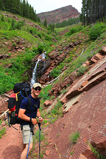
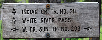
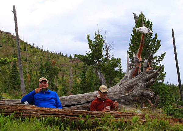
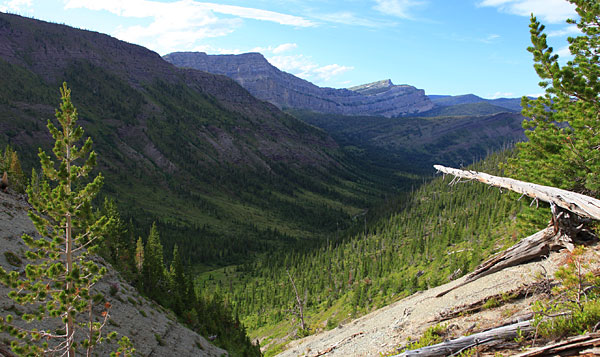
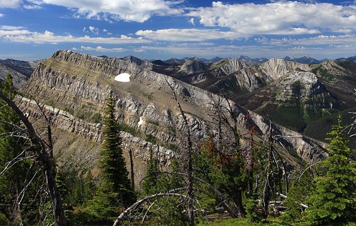
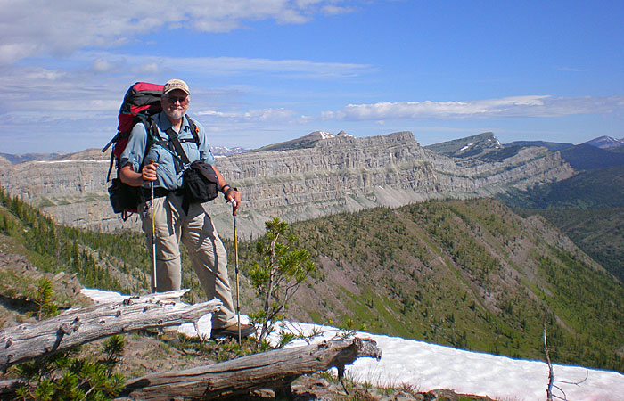
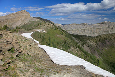
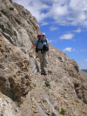
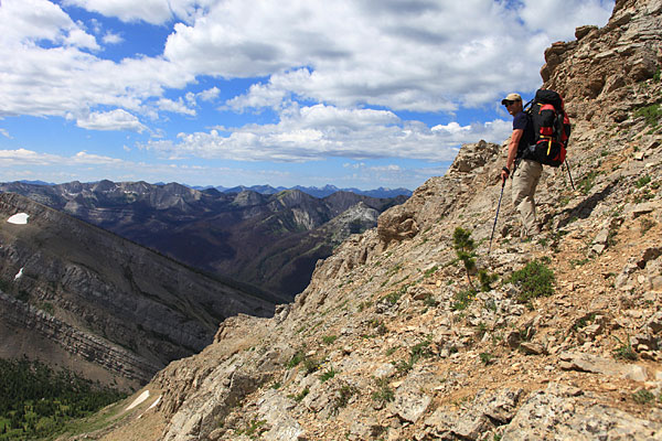
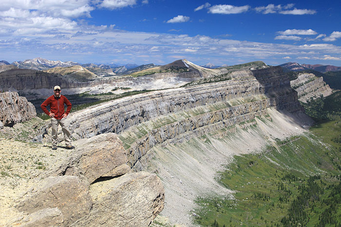
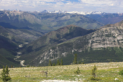
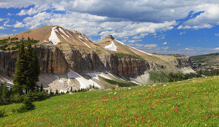
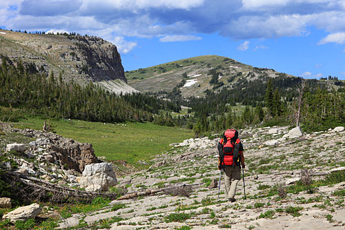
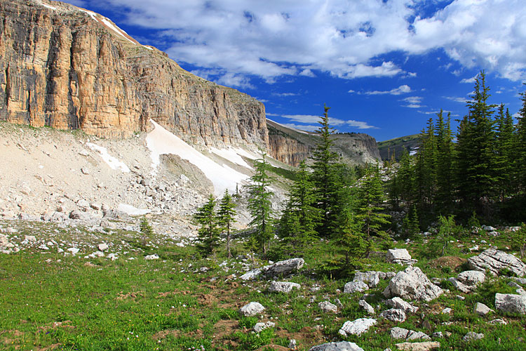
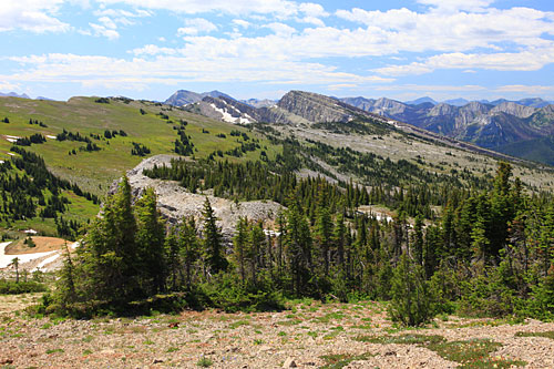
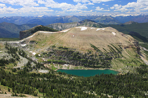
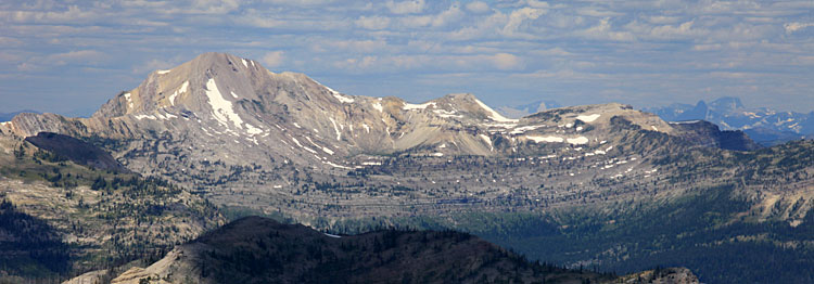
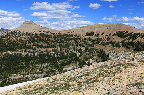
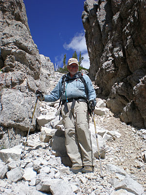
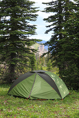
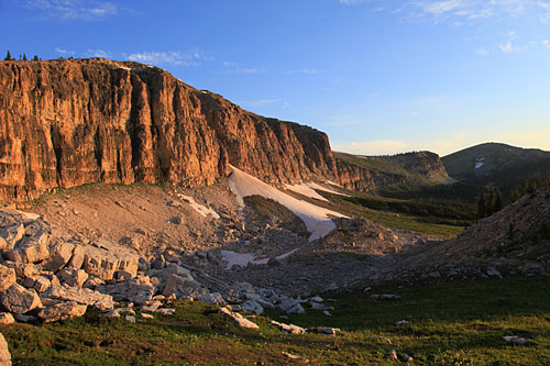
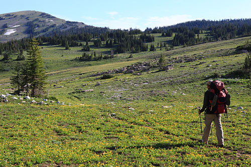
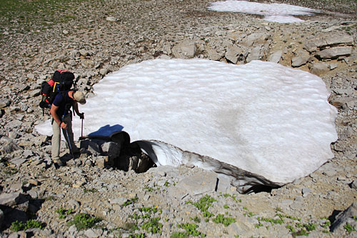
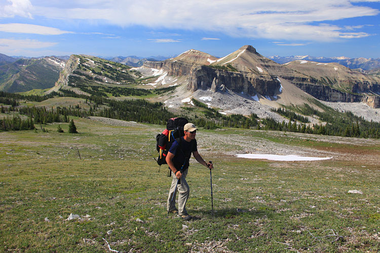
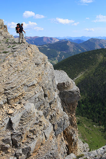
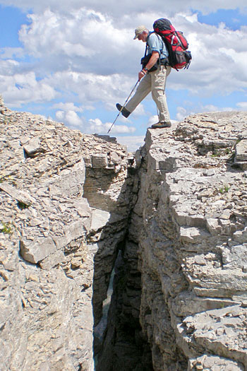
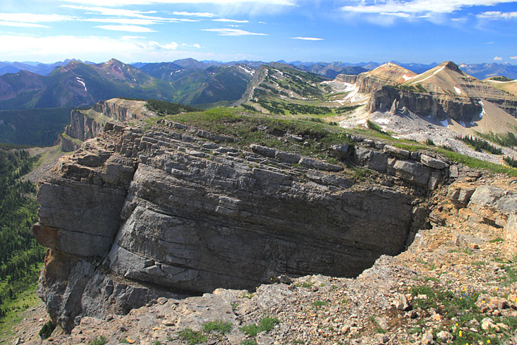
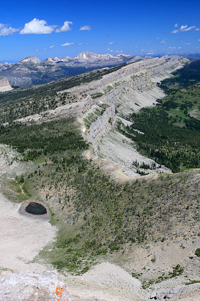
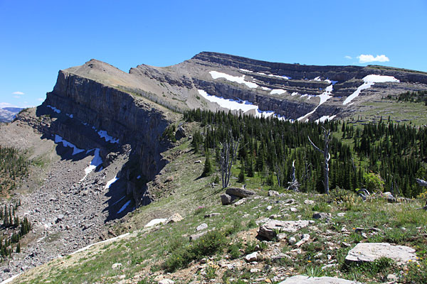
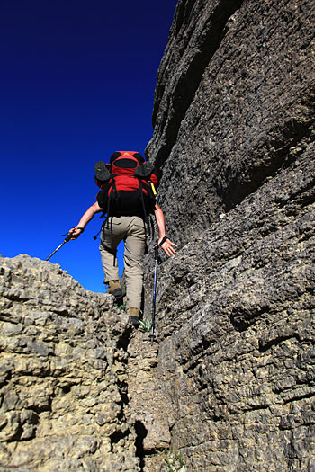
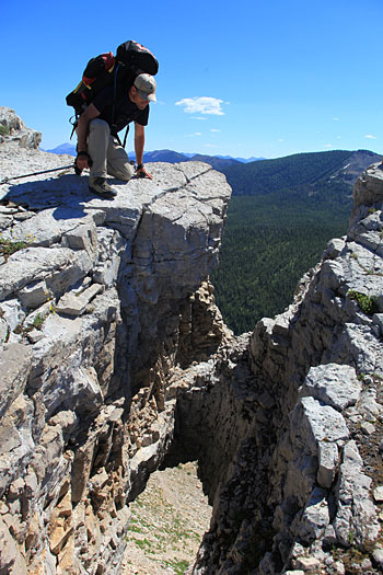
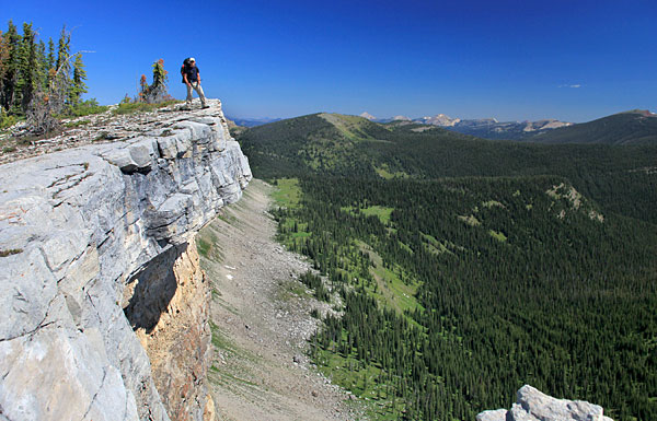
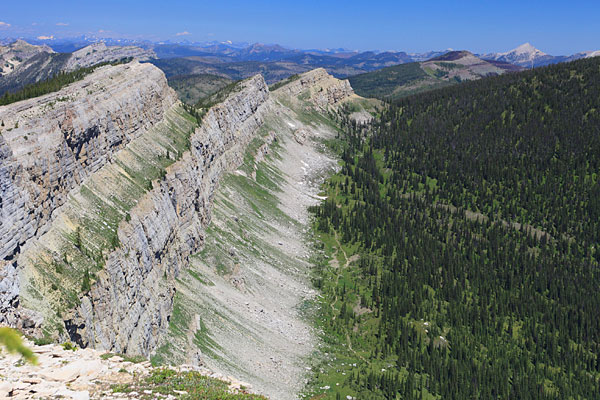
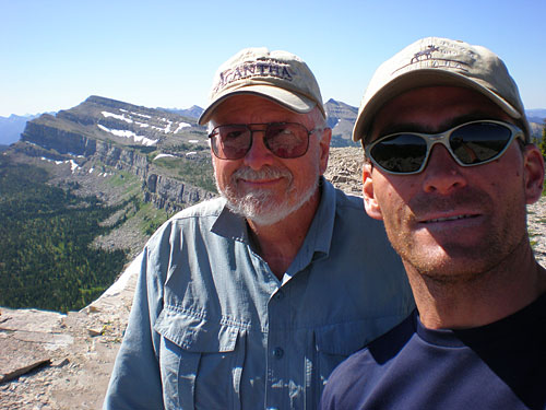
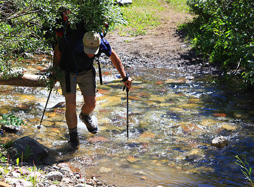
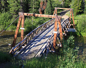
We started at Benchmark and ended up going over Headquarters Pass. During the eight days we hiked the top of Montana's Chinese Wall and visited the summit of five mountains.
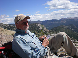
Photos by Ralph Thornton and Ron Gruber.

Our first day included a pleasant walk down the South Fork and up the West Fork of the Sun River. It could have been more pleasant if our packs were lighter and if it wasn't so darn hot. But what the heck, we were off on another adventure!
We set up camp west of the Prairie Reef trail junction near Indian Meadows.
Our second day included a wade of the West Fork of the Sun River and a long grueling ascent of the Indian Creek valley. The trail eventually led to White River Pass.
The Indian Creek Trail to White River Pass crosses a small steam and passes a big slab of red rock that contains hundreds of small ripple marks.
We camped in the lee of some trees to avoid some of the wind. Our cooking area featured two large logs and an interesting ornament.
After dinner we walked north to a saddle between Indian Creek and Red Butte Creek for our first look at the Chinese Wall. We'd be hiking over the top of the entire Wall which extends for about 12 miles from White river Pass on the south to Larch Hill Pass on the north.
Below: The view west the following morning from White River Pass. The trail goes through the pass and down to the White River. We turned right and headed north to the top of the Chinese Wall.
On top of the ridge above White River Pass. The pointy peak with snow is Sphinx Mountain and in the distance is Cliff Mountain the highest point on the Chinese Wall.
Walking the Wall is much more complex than we anticipated. There are cliffs to climb and great clefts in the rock to circumnavigate.
Ron climbing the slope below Haystack Mountain, our first summit of the trip.
Above: Ron on Haystack Mountain with the Chinese Wall stretching far to the north.

Left: Looking west down the White River to the distant Swan Range.

Haystack Mountain is the only place on the Chinese Wall accessible by trail. Quite a few people reach the top of the wall here mostly by riding horses up the steep trail. We met a group outfitted by the Mills Brothers out of Augusta, Montana on Haystack. They gave us quite a curious look as we walked off toward the north with our big packs.

Above: There were some interesting chasms and rock slide areas to cross north of Haystack but eventually we approached Sphinx Mountain. We hoped to reach the summit of that peak as well as a nearby peak called Gladiator Mountain the next day.

Left: Ron searching for water and a camp. The top of the Wall is very dry. We found only two small snowmelt streams and one pond. The top of the Wall has many sinkholes and most of the water disappears into the ground.

Below: A view from near our camp below Sphinx Mountain.
Sphinx Mountain is guarded by a fairly big cliff but we found a nice ramp to reach the summit ridge.

Left: The view south toward Haystack.

Below: I'm definitely enjoying the scenery and the much lighter pack.

Left: Looking sort of west from the summit of Sphinx Mountain across Diamond Lake to Gladiator Mountain. We were envious of the nice water down there but we decided the elevation loss wasn't worth it.
Below: Silvertip Mountain on the left. In the far distance, maybe 85 miles away we could see Mount St. Nicholas and Mont Stimson in Glacier National Park.
Sphinx Mountain as viewed from Gladiator Mountain.
Far Left: Descending the talus ramp through the cliffs on Sphinx Mountain on our return to camp.

Near Left: Another camp near some trees to protect us from the wind.

Our goal the next morning was to traverse the summit of Cliff Mountain (the dark peak in the right distance) and camp some where on top of the Wall above the head of Moose Creek. The problem was whether we could find water.
Ron heading toward Cliff Mountain.
Left: One of many sinkholes that seemed to gobble up all the water on the top of the Wall.

Below: Ron walking to the summit of Cliff Mountain.

Lots of interesting places on the Wall.
Above: The view south from the summit of Cliff Mountain.

Left: There's some water in a pond north of Cliff Mountain. It's unfortunately in a depression that one has to climb down to and then back up out of. No water drains out of the pond on the surface.

We reached the pond in the middle of a very hot afternoon. We filtered enough water for the rest of that day and all of the next. That added about 10 pounds to our already heavy packs.

Left and Below: Looking back to Cliff Mountain from our camp.
Above and Left: More fun on the Wall.
Larch Hill Pass is getting closer. But two big cliffs are in the way. These required a big descent on the west side followed by a long ascent on a hot dry afternoon. Once we reached Larch Hill Pass we had to hike another few miles to our intended camp near My Lake.
On top of Salt Mountain. Our fifth summit of the traverse.
Leaving My Lake we hiked about 26 miles in two days to reach the trailhead below Headquarters Pass. We camped near the North Fork Sun River Pack Bridge on our last night.

Left: Ron is "Water Walking" across Red Shale Creek.