Exploring the Front of Walling Reef - June 15-17, 2011
Copyright Notice

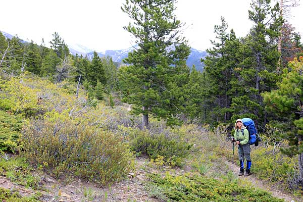
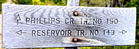
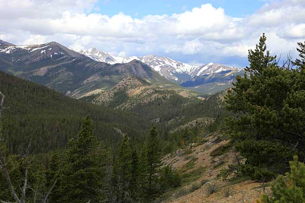
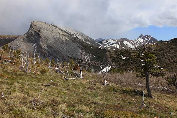
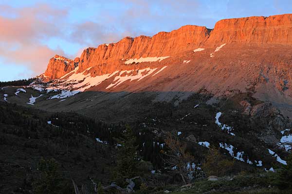
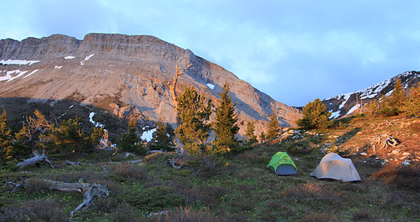
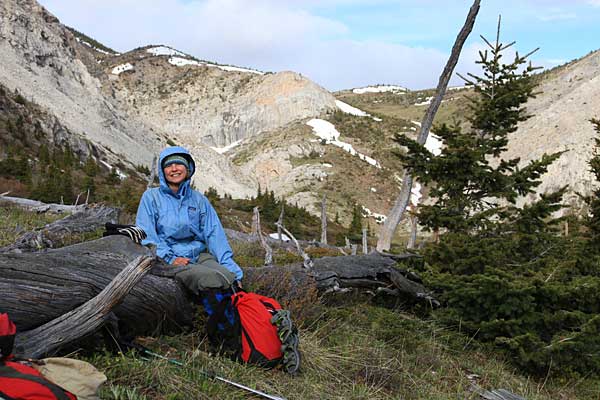
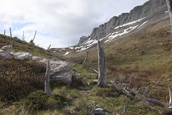
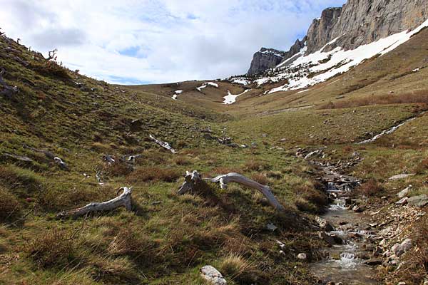
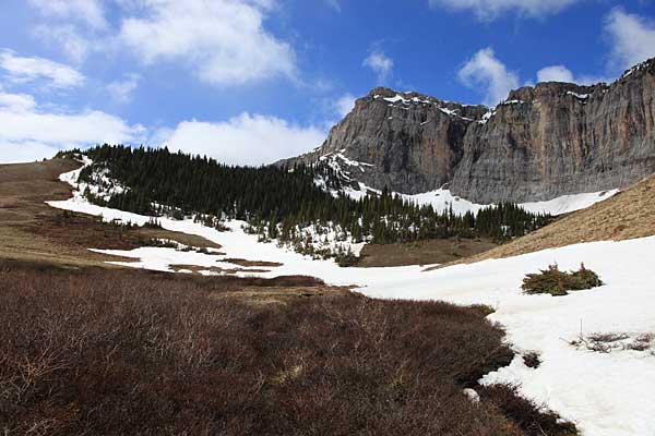
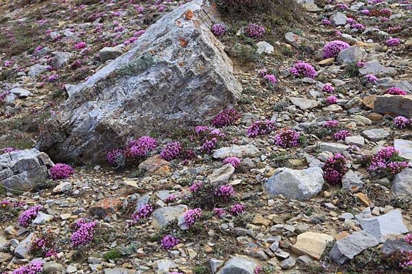
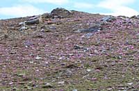
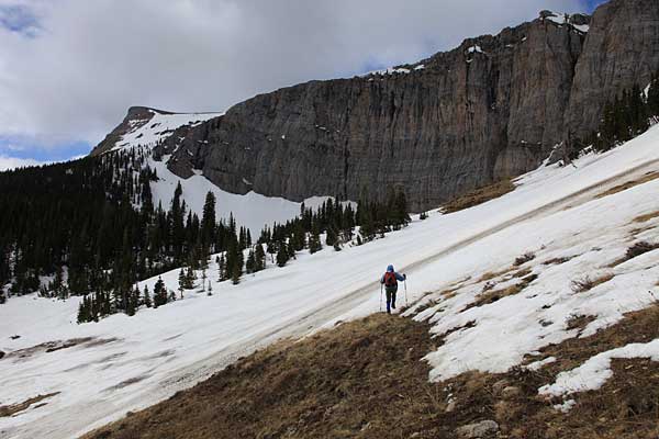
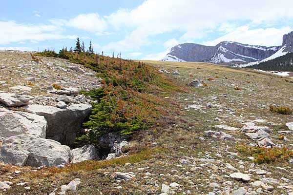
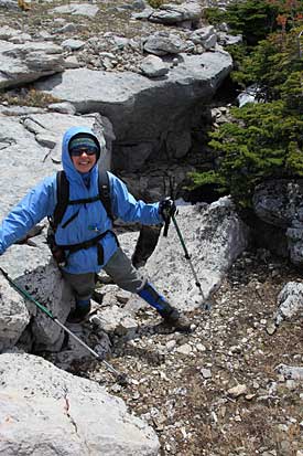
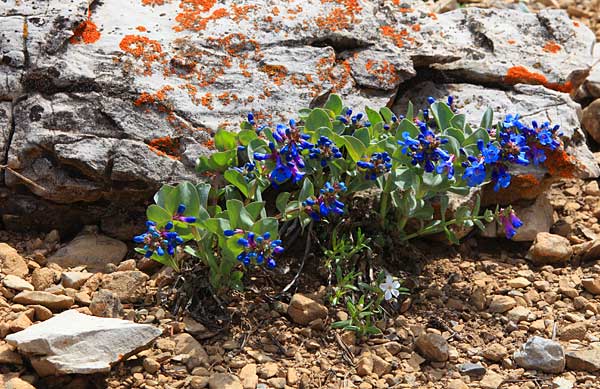
Walling Reef is an obvious landmark on the Rocky Mountain Front west of Dupuyer, Montana. It is a high wall that extending for more than a mile that rises several thousand feet above the prairies. But the front or east side of Walling Reef has a huge bench containing several stream valleys, a small lake, countless wildflowers, several caves and abundant wildlife. April Seubert and I decided to explore that area to see what we could find.

We began our trek at the Swift Dam trailhead and hiked Trail #143 along the south shore of Swift Reservoir. We soon reached Hellroaring Springs and the junction with Trail #150.

The Phillips Creek trail headed south and gained elevation quickly. The forest was open and the views began to expand.

Looking back north from along the Phillips Creek trail.
After gaining quite a bit of elevation we reached a grassy saddle the separated the Phillips Creek drainage from that of Sheep Creek. This spot provided a wonderful view of Walling Reef. Our objective though was not the reef itself but a broad bench on its east or left side (as seen in this view).
After a brief rest and luncheon we descended to Sheep Creek then hiked along the creek.
We set up camp, explored around some and prepared for the night. The following morning the rising sun lit up Walling Reef.

The Bench we hoped to explore is the area left of the fantastic wall.

We only got a brief display from the rising sun. Clouds covered most of the sky and the show ended quickly.
After breakfast we crossed Sheep Creek and began to ascend the bench. There was a trail on the map but most of the time it was not all that evident on the ground. The trail supposedly follows this ridge.

The view is looking back toward the saddle we had reached the day before.

While the trail was not all that evident, we were able to follow its general route up a ridge onto the Walling Reef Bench. Several fallen trees provided places to rest and enjoy the view.
Looking up along Walling Reef we could see the area opened up into huge grassy prairies.
Several small streams drained the melting snow. Soon a band of mountain sheep caught our attention.
The sheep continued to graze as we hiked by. They occasionally looked our way but they didn't become alarmed.
We topped a small ridge and looked back north. In the fore ground on the left is an unnamed ridge and on the right is Split Mountain. Furth away in the center of the view is Heart Butte.
Tucked up against Walling Reef are groves of trees. Our map indicated that there was a lake just beyond those trees.
Mountain saxifrage colored the ground.
Once past the first grove of trees we approached the lake. Heavy snow still covered that area. The surface of the snow was soft though and we were able to safely cross it.
There is indeed a lake at the head of that drainage. The lake and surrounding area was still in the grips of winter. We immediately decided that another trip in another season would be a good idea.
We headed east from the lake and walked to the edge of the bench. We were told that we might find several caves right near the edge of the escarpment.

These caves are called Gravity Slide Caves. They did not form from the dissolution of the rock by water, instead they forms as huge masses of rock slide away (by gravity) from the rest of the escarpment.

We found the 4 caves. This is one of the three Sweet Pine Pits.

Here on the edge of the escarpment the wind was ferocious and we had some difficulty walking.

April is checking out the entrance to one of the Sweet Pine Pits.
We quickly tired of the fierce wind and decided to head down to warmer zones.

On our hike out the following day we enjoyed the beauty of numerous wildflowers.

Left: A species of Phlox that forms dense mats of white flowers. There are several species but I think this one is Cushion Phlox.

Below: I think this is cordroot penstemon, a brilliant blue penstemon with large leaves.