 |
|
|
| The plan was to spend two days hiking in about 16 miles to the head of the South Fork of Glenns Creek and establish a camp for two nights. We hopes to explore a route up Slategoat Mountain from there.
The adventure began at the Mortimer Gulch Trailhead near Gibson Dam west of Augusta, Montana.
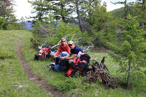
Left: Ron and April on the trail decorated with Arrow Leaved Balsam Root.
|
|
 |
The trail along the reservoir led through huge meadows, aspen groves and in places was carved out of the cliffs above the lake. |
|
|
|
 |
A hike of about 7.5 miles brought us to the Klick Ranch near the forks of the Sun River above Gibson Reservoir.
Sun Butte rises above the guest ranch and there is a nice pack bridge (visible on the right side of the photo) to help us cross the swift flowing North Fork of the Sun River.
|
|
 |
We cross the North Fork of the Sun River, hiked through the guest ranch and entered the Bob Marshall Wilderness just south of the Ranch. |
|
 |
|
|
 |
We were now following Trail 202 along the South Fork of the Sun River. The trail crossed this large grassy hill and provided beautiful views of Sun Butte (above).
The crest of the ridge provided a good lace for a rest.
|
|
 |
|
|
 |
About 30 minutes later we were setting up camp for our first night on another ridge near Bear Creek.
The following morning brought some nice warm sunshine. Time to get a move on.
Our camp provided a great look at the South fork of the Sun River. The photo below is the view to the south.
|
|
 |
|
|
 |
 |
|
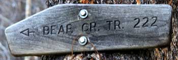
| We left camp and immediately began following the trail up Bear Creek.
This trail was quite scenic too. it gained elevation gradually by climbing through open prairies and aspen groves.
|
|
 |
About 5 miles up Bear Creek we reached the junction with the Glenns Creek Trail.
This trail gained elevation briskly and had quite a few downfalls that required some maneuvering.
After crossing the saddle between Bear Creek and the South Fork of Glenns Creek and descending to the creek we left that trail and headed cross country up the valley.
There was still quite a bit of snow along the South Fork of Glenns Creek. We decided to start looking for a flat place to camp.
Ron was out ahead and spotted this elk calf (below). The calf immediately crouched down between some small trees to try and hide fro us.
|
|
 |
|
|
 |
|
|
| We planned to climb Slategoat Mountain on our third morning. It was sunny and clear at 5 am when we awoke but by 7:00, just as we were making final preparations for departure, it began to rain.
It pretty much rained until late in the afternoon, sometimes as a gentle drizzle but often in heavier downpours.
This is the view from our tent around noon. Not good for a climb but it made for a "resting" day.
|
|
|
The rain stopped and by 5 pm the sky was clearing. Time for supper. |
|
 |
|
 |
After the all day rain it was a eight to enjoy dinner in the sunshine.
Before long we poured the wine and were enjoying a toast! (Below)
|
|
 |
|
|
 |
|
 |
|
| While we took two days to hike in the 15 miles to our camp on the South Fork of Glenns Creek, we planned to hike out in one long day.
A lot of snow had melted with the rain of the previous day and Glenns Creek was running higher. Coming in we were able to rock hop across. Going out the creek crossing required a little wading.
The water wasn't actually warm but it felt good compared to walking in the snow with only sandals on.
The day passed quickly. It was warm and sunny most of the time. Before long we were resting back along the Gibson Reservoir with only 6 more miles to walk.
|
|
|
|
|
|
|
|
|


