 |
|
|
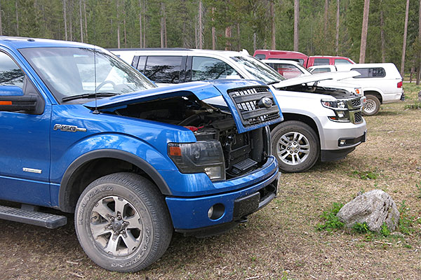
Arriving at the Meadow Creek trailhead we noticed that most folks had left the hood of their rigs open. We asked several people why folks did this and most answers included something like, "Well we saw all the other hoods up so we left ours up too." One Forest Service employee provided what sounded like the correct answer. He told us that bushy tail pack rats have been crawling into the engine compartments and chewed on the wiring. The open hood lets in light and the pack rats apparently stay away.
Note: The verdant forests that we traversed on this trip were burned in a massive August fire. This fire was started by lightning duirng the week of August 9th well outside the Bob Marshall Wilderness. After a week of slow growth the fire exploded from 400 acres to 17,000 acres in four hours. Eventually the fire burned 70,903 acres and extended all the way to Silvertip Mountain. |
|
 |
|
|
|
|
| The South Fork of the Flathead River flows through spectacular Meadow Creek Gorge. |
|
 |
|
|
| April and Ron rock hop across Mid Creek. |
|
 |
|
|
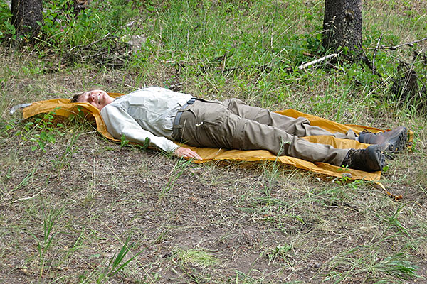
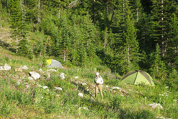
| Our first and last nights on this trip were spent near the confluence of Black Bear Creek with the South Fork of the Flathead River. We found a nice grassy and shaded spot in an open forest not fsr from Black Bear Creek. April is using the Bruce and Rhonda White technique to find out if her tent site was flat. |
|
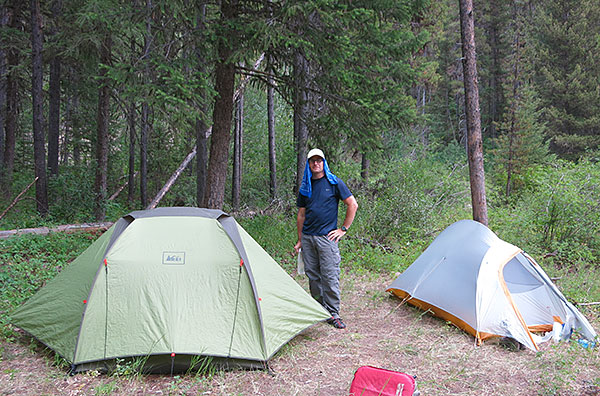 |
Our camp near Black Bear Creek.
|
|
 |
|
|
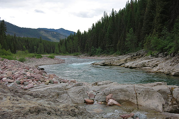
| A view up the South Fork of the Flathead River just above Black Bear Creek. |
|
 |
Our second day featured a hike up Black Bear Creek and Rambler Creek. The trails had not been cleared this year and had more that a little downfall requiring some aboreal gymnastics. And there was no trail in the upper reaches of Rambler Creek so we had to bushwhack.
Once near the head of Rambler Creek we spent a long time searching for a flat campsite. This open rocky spot was the best we could find. |
|
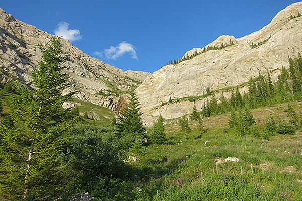 |
The view of Silvertip from camp was very nice.
We weren't quite sure of the route but Brian Kennedy had provided some info for us. The following day we climbed to the "V" shaped notch on the skyline below the right most cloud. |
|
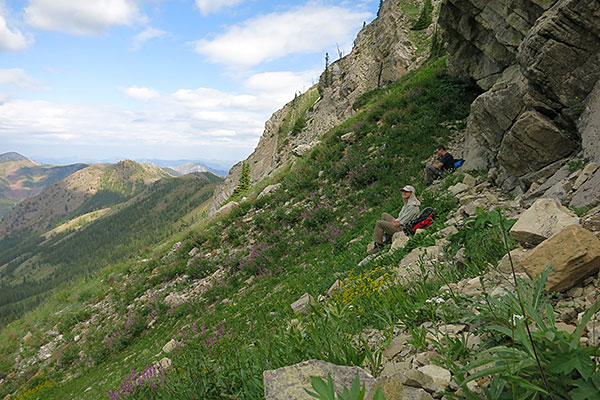 |
The climbing was nice. Easy class three cliffs mixed with open grassy slopes and talus. There were more than a few clouds and the shade was very welcome. |
|
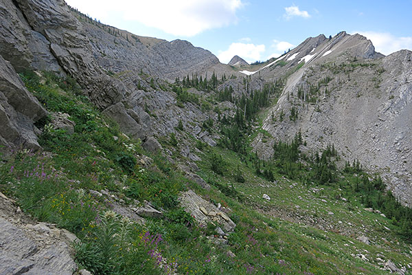 |
Looking south along the west side of the long summit ridge of Silvertip Mountain.
|
|
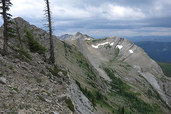 |
Another view toward the south from just below the notch.
|
|
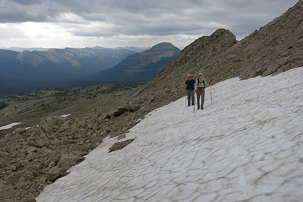 |
After passing through the notch we easily traversed some snow and scree. Then, after some fiddling around on the summit ridge, we finally reach the top.
|
|
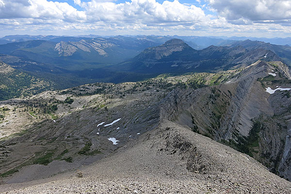 |
The view south from the summit includes Bungalow Mountain in the middle background and the west slopes of the Chinese Wall on the top left. The air was a little hazy but we still enjoyed the views.
|
|
 |
Ron, April and myself on top of Silvertip Mountain (8,882 ft.).
|
|
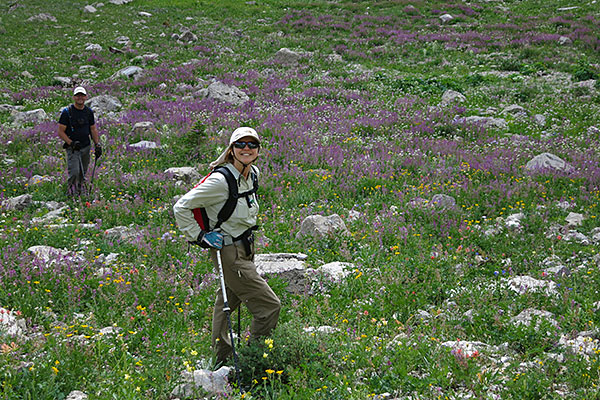 |
There were a few spatters of rain during our descent but they didn't amount to much. The wildflowers were spectacular causing us to pause and smell the purple vetch. ;)
|
|
|
|
|
|
|


