 |
|
|
| We left the trailhead on the Benchmark road around 10 am and walked about 4 miles over the high windy saddle near Crown Mountain (left).
After a short rest out of the wind in the lee of some trees (below left), we found a camp spot, also in the shelter of some trees.
Our next task was to find water. We expected that there would be a stream near he saddle but most of the snow had melted and things were pretty dry. We ended up walking almost a mile down the valley before finding a small spring.
We filled our water containers and headed back to camp.
|
|
 |
|
|
|
|
|
 |
After getting out campsite in order we climbed to the summit of Crown Mountain, about 1400 feet above camp.
It was quite windy on the exposed mountainside. The howling sound of the wind was intense and we often had problems just standing up.
|
|
 |
|
|
| The views were pretty good though and included a look at our goal for the trip, Scapegoat Mountain. |
|
 |
The view north from Crown Mountain includes Old Baldy, Rocky Mountain and Sawtooth Ridge.
We huddled near the summit cairn for a while then headed back down to camp for dinner.
You can tell by our dress that it was a cool afternoon (below).
|
|
|
|
 |
 |
|
|
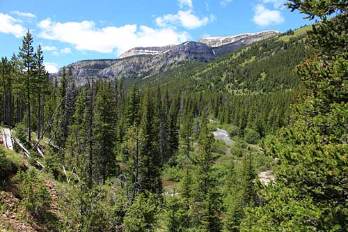 |
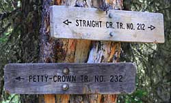
The following day we hiked down Crown Creek, up Straight Creek and finally ascended the beautiful valley of Green Fork. |
|
 |
|
|
|
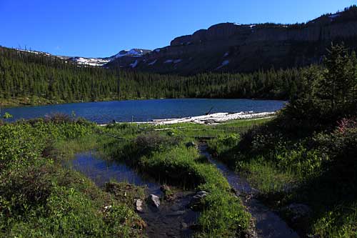 |
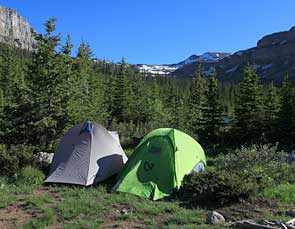
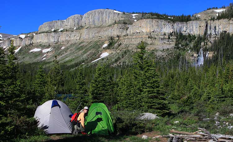
The day had started cold with snow flurries but by late afternoon it had gotten pretty warm. We rested near a small lake and eventually found a good place for our camp. |
|
 |
|
|
|
 |
|
 |
The next morning dawned clear and warm. Our view from camp included this big waterfall that issues from a hole in the cliff face across the valley.
We were soon all prepared for our attempt on Scapegoat Mountain.
We followed the Green Fork Trail up the valley through some swampy terrain. Leaving the trail we headed directly for the cliffs.
April is scouting for a route up the cliffs at the head of the valley.
We found a route but the climbing was difficult and the camera stayed in the bag!
|
|
 |
Once above the cliffs the climbing became quite easy.
The scenery was spectacular. This view is looking back down Green Fork.
|
|
 |
|
|
| Left: It was a long trek up but the higher we got the more we could see. Scapegoat Mountain has very high cliffs that protect a massive alpine plateau. There was plenty of snow but none so steep that we couldn't just walk up.
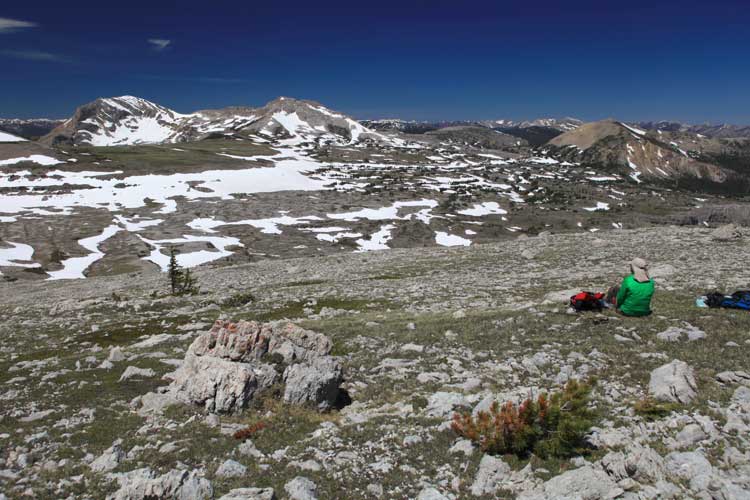
Below: We stopped for a rest when about 700 feet below the summit. Our view included most of the plateau and the summit of Flint Mountain in the distance.
|
|
 |
|
|
|
|
On top of Scapegoat Mountain, 9,202 feet. |
|
 |
|
|
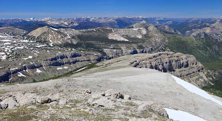
Looking north from the summit past Green Fork valley and into the Bob Marshall Wilderness. |
|
 |
|
 |
|
|
|
 |
|
 |
Above: Looking a little further west from the summit.
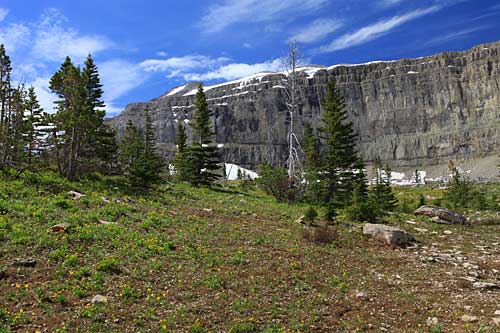
Left: The following day we hiked around the northern point of Scapegoat Mountain to Half Moon Park.
|
|
 |
|
|
 |
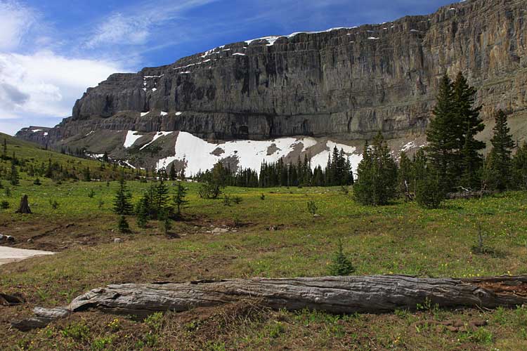
Left and Below: Half Moon Park featured views of the high cliffs of Scapegoat Mountain and wonderful meadows. The summer flowers were just beginning to bloom. |
|
|
 |
|
|
 |
The day was getting on and we waned to cover some of the distance back toward the trailhead that afternoon. So we reluctantly left Half Moon Park, hiked back to camp, packed up and started hiking down Green Fork valley in the hot afternoon.
Left: April is "waterwalking" across Straight Creek.
We spent a quiet and warm night camped along Straight Creek. Our last day saw us hiking back up Crown Creek to its high saddle (below).
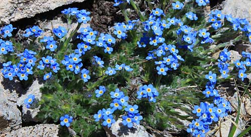
We rested there before following the trail down. The rocks were highly decorated in varying shades of blue with alpine forget-me-not (bottom).
|
|
 |
|
|
|
 |
 |
|
|
|
|
|
|
|
|
|
|
|
|
|
|


