 |
|
|
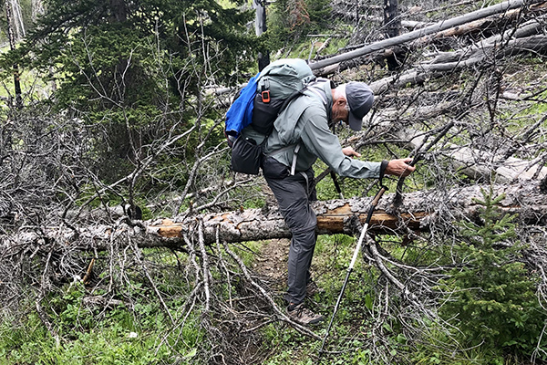
| We began at the Crown Mountain trailhead and hiked to the saddle between Petty Creek and Crown Creek. The hike, while uphill was fairly easy. Things changed shortly after we began to descend Crown Creek however. That trail had not been cutout yet and there was plenty of arboreal gymnastics. |
|
 |
|
|
|
|
| We had hoped to reach the upper reaches of Green Fork the first day but working through, over and around the downfall along with more than a few creek crossings saw us several miles short of our goal late in the day. We found this nice but somewhat tick infested, campsite near Straight Creek. |
|
 |
|
|
| The night was peaceful and calm but it was quite cool and damp low in the valley. The sun warmed us during breakfast. We also spent some time letting our gear dry out before packing up camp. |
|
 |
|
|
| After our somewhat casual start we encountered more brush and downed trees on the trail. |
|
 |
April always keep smiling even though the going was not so pleasant. The clear sunny morning turned cloudy shortly after capturing this photo. Before long it began to rain. Fortunately the rain lasted only long enough to get everything wet.
|
|
 |
|
|
| The sky began to clear when we reached this delightful place to spend the next two nights. After setting up camp and hanging our food bags we explored the upper reaches of the valley. It became clear that the steep snow would be too dangerous to cross so we abandoned the Flint Mountain concept and began to formulate a Plan B. |
|
 |
After a calm but very cold night we awoke to heavy frost and frozen tents. |
|
 |
The pond was like a mirror and the sky crystal clear - definitely a beautiful start to the day. |
|
 |
After a warm breakfast we headed up toward Halfmoon Park. We were able to gain 400 easy feet of elevation on the trail above camp. It was another 1,000 feet of elevation gain hiking through open forest and up grassy slopes but the view kept getting better. |
|
 |
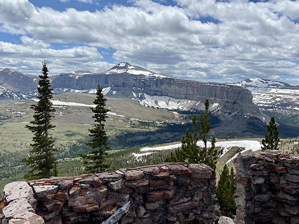
We were slowed by an ascent of loose scree and talus for about 150 feet but that got us to the ridge leading to the summit. At one time there had been a fire lookout on Halfmoon Peak. Only bits and pieces of the building remained but the foundation was still in pretty good shape.
|
|
 |
The view of Scapegoat Mountain was magnificent.
|
|
 |
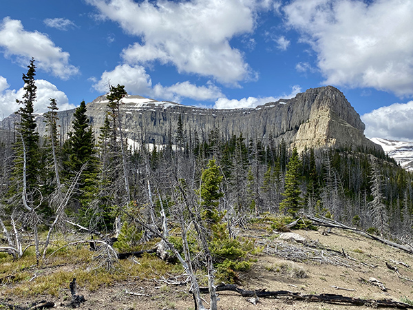
The following day we thought we would explore the old trail to Cigarette Rock. The trail up was in poor shape with tons of fallen trees in our path.
|
|
 |
Eventually the forest thinned. I rested and explored some while April went a little higher. I think we'll go back there another time and hopefully reach the summit.
|
|
 |
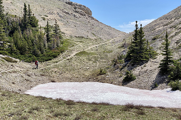
Our hike out the next day was a repeat of our approach -- lots of trees to crawl over and around. One good thing was that the streams had decreased their flow over the four days we were there. Not having to wade was a good thing. Here April is approachng the pass between Crown Creek and Petty Creek.
|
|
 |
The pass was decorated with flowers. These alpine forget-me-nots were the best.
|
|
|
|
|
|
|


